The European Union’s revised Common Agricultural Policy, effective from January 2015, has introduced a measure to promote agricultural diversification. The “Greening Payment” rewards farmers for practices perceived to be ‘beneficial for the climate and the environment’. It is big pot of money: 30% of the national level agricultural subsidies. Compliant farmers get a (per hectare) payment, offenders get a fine.
These are the Greening measures that farmers can take:
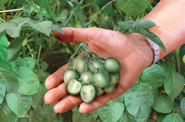
- ‘crop diversification’: cultivate at least 2 crops when a farm’s arable land exceeds 10 hectares and at least 3 crops when it exceeds 30 hectares. The main crop may cover at most 75% of the arable land, and the two main crops at most 95% of the arable land;
- maintaining an ‘ecological focus area’ of at least 5% of the arable area of the holding for farms with an area larger than 15 hectares (excluding permanent grassland) – i.e. field margins, hedges, trees, fallow land, landscape features, biotopes, buffer strips, afforested area;
- maintaining permanent grassland, including traditional orchards where fruit trees are grown in low density on grassland.
This is pretty complicated.
Farms that already have ‘Greening Equivalency’, such as organic producers, do not have to meet these requirements, because, says the EU, ‘their practices provide a clear ecological benefit’. There are more exceptions. For example for:
farms that already fulfill the objectives of crop diversification as a result of being covered to a significant extent by grassland or fallowland, for specialised farms rotating their parcels each year or for farms that because of their geographical localisation would have excessive difficulties in introducing a third crop.
I suppose it is on the basis of such ‘excessive difficulties’ that rice farms (at least in Andalucía) are exempt. Who else is going to be exempt? Why not include the thousand Scottish farmers that grow only one crop — spring barley for whisky? But that still leaves them muttering into their warm ales in the arable east of England, where opponents of the measure suggest that increasing crop diversity is less efficient and leads to more greenhouse gas emissions.
If these rules are here to stay, they will likely lead to creative book-keeping and a new agricultural land market to join, for example, a wheat farm with an olive grove, perhaps in different countries.
But what about the science behind all this? Research on “ecological focus areas” suggests that these may not deliver the goods. And there is no thought given to taxonomy: it is as green to grow wheat and barley as it is to grow beans and barley, or wheat and spelt.
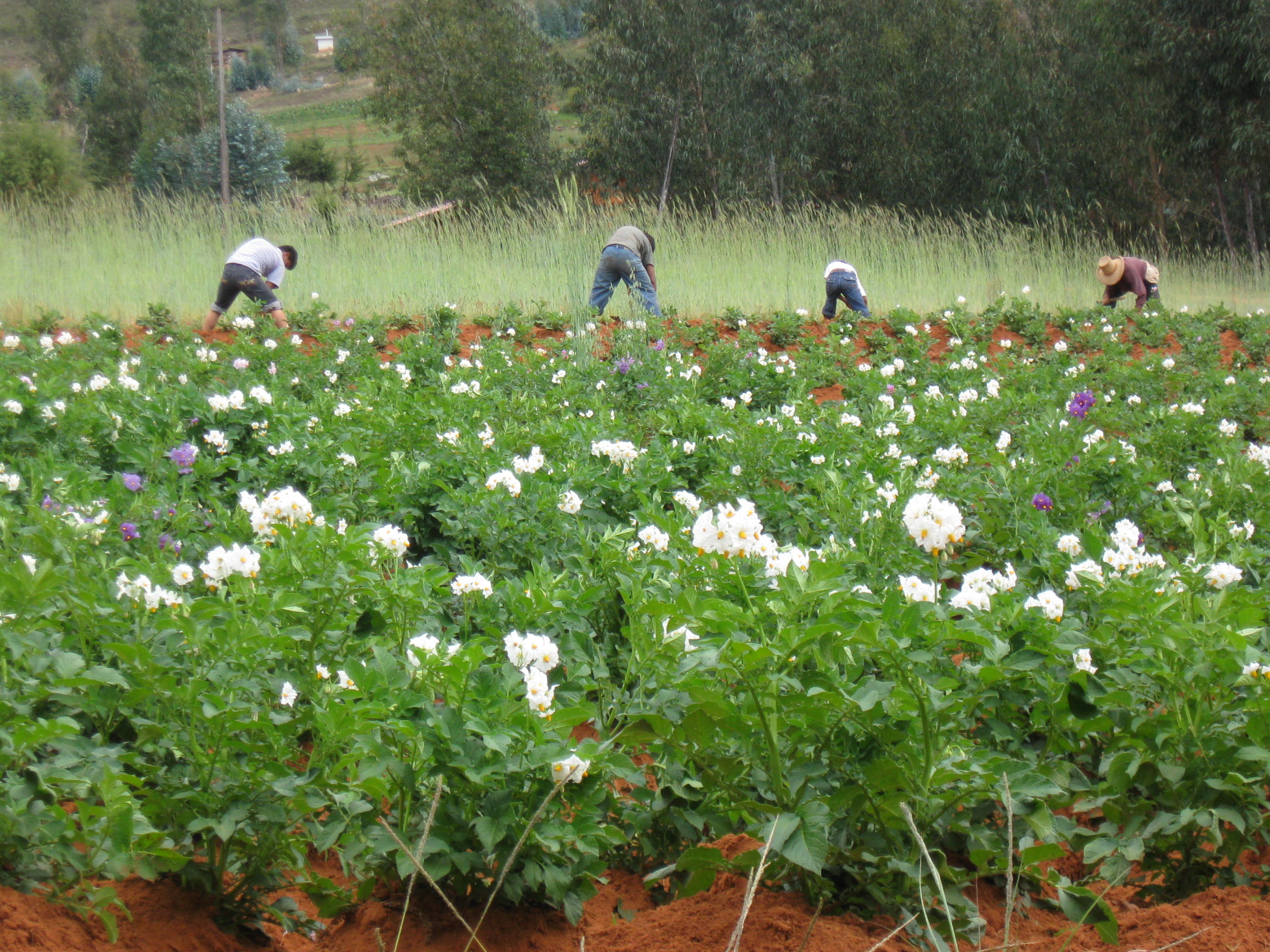
Some of the most intensive (and, on a per ha basis, often the most environmentally problematic production systems) have more than three crops (not to mention horticulture). In the Netherlands, for example, most arable farms grow three crops or more: potato and wheat and perhaps sugarbeet, barley, onions, or another vegetable. This is part due to legal requirements on growing potatoes in a four year rotation in most regions, to reduce nematode (and nematicide) problems. These Dutch farms will get the subsidy, but a low input wheat farm in central Spain could get a fine.
What is the current baseline, and where does the EU think it will get with these rules? I could not find any analysis this is based on, can anyone point to that (if it exists)?
Here are some estimates of the areas affected in the UK. It is hard to get farm level crop diversity data; but we have statistics about crops by region, from which that can be estimated though. There’s something fun that I could do this week.
 Our office complimentary copy of