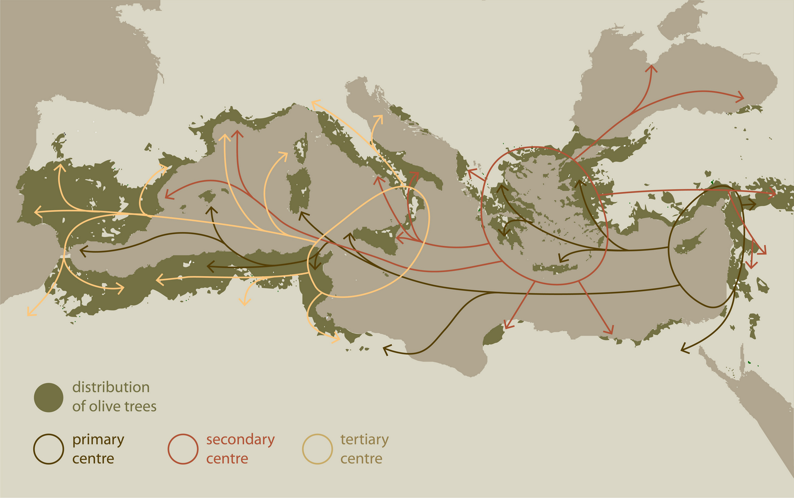
There’s a nice map of the spread of the olive doing the rounds on Twitter.
But where does it come from?
As best as I can make out, the ultimate source seems to be an article on Vivid Maps. All the other maps and illustrations in the article are credited, but this one is not, so I’m thinking the author — Alex — made it him or herself, and a fine job they did too if so.
Where did they get the data? Difficult to say, but there’s a very similar map, though not nearly as nice, in an Encyclopedia of Life Support Systems article entitled Olive Growing in a Time of Change. And that has the following credit (slightly cleaned up, and link added):
Olive diffusion in the Mediterranean Basin. (Adapted from Morettini. 1950. Olivicoltura. REDA, Roma, Italia, by Rallo, L. 2005. In Rallo, L., Barranco, D., Caballero, J. M., Del Río, C., Martín, A., Tous, J. Trujillo, I. (Eds.). (2005). Las variedades de Olivo en España. Junta de Andalucia. Ministerio de Agricultura Pesca y Alimentación. Ediciones Mundi-Prensa, Madrid, España. We acknowledge the permission by authors, scientific editors and publishers).
Which doesn’t really help clarify things an awful lot. Recent work adds an eastern dimension to the spread of the crop.