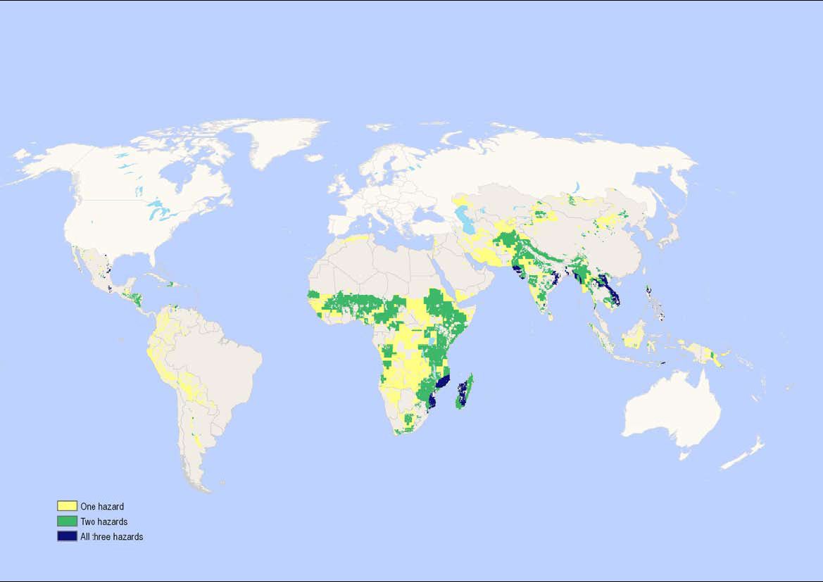
A SciDevNet piece on the report “Humanitarian Implications of Climate Change: Mapping emerging trends and risk hotspots” says that
The report, commissioned by CARE International and the UN Office for the Coordination of Humanitarian Affairs (OCHA), identifies Afghanistan, India, Indonesia and Pakistan as countries particularly vulnerable to extreme weather conditions.
But actually, looking at the map on page 26 from an agrobiodiversity conservation point of view, the countries I’d target — for germplasm collecting, for example — are Mozambique, Madagascar and Vietnam. The authors looked at flood, cyclone and drought risk. These countries are in for all three.
LATER: At least Cuba doesn’t seem to be at much increased threat, which is just as well!

