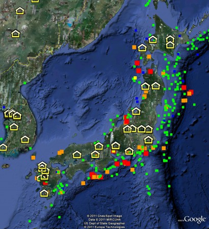
And, of course, it turns out you can indeed map tsunami risk, or at least where tsunamis have caused most damage in the past. Just download the Natural Hazards KMZ file from NOAA. This is what it has to say about Japan. The little yellow houses are genebanks. The squares are tsunamis since 1900, colour-coded for the number of casualties they caused.

One Reply to “Genebanks and tsunamis”