There’s an interesting paper just out in Nature entitled “Protected areas have a mixed impact on waterbirds, but management helps.” It’s unfortunately behind a paywall, but one of the authors, Dr Julia Jones, has done a helpful Twitter thread about it, which I’ve unspooled here if you dislike social media. There’s also mainstream media coverage, of course.
Do protected areas effectively conserve species populations? Our paper out today in @Nature tries to answer this really important question.https://t.co/XFzLS5Iqmr
— Julia Jones (@juliapgjones) April 20, 2022
The authors analysed data on waterbird populations before and after protection of sites, mainly in North America and Europe, as collected by thousands of volunteers. They found a mixed and confusing picture, with designation of a protected area having a wide range of impacts from negative to positive on the population sizes of the birds found therein.
Disappointing, I know, but there was a ray of light. As the title of the paper says, management made a difference. If the protected area was specifically managed with waterbirds in mind, then the impact of protection was more likely to be positive.
Which is why some of us who are interested in the conservation of things other than birds think there should be a global network of protected sites for crop wild relatives (CWR). In the same way that we just can’t rely on the generalised protection afforded by legal designation of a national park, or whatever, to do anything for waterbirds, we can’t expect it a priori to do anything for CWR either.
But does that mean that we’ll need millions of protected areas around the world, each specialising only in this or that species or group of species? I don’t think so. What we do need is for the CWR conservation community to work closely with the managers of existing protected areas to make sure that the correct interventions are applied to make sure that the CWR populations which happen to occur within their borders are able to thrive. That would probably not be enough, and it may well be necessary to set up some additional protected areas specifically devoted to CWR. But it would be a good start. And we do have a good a good evidence base. 1
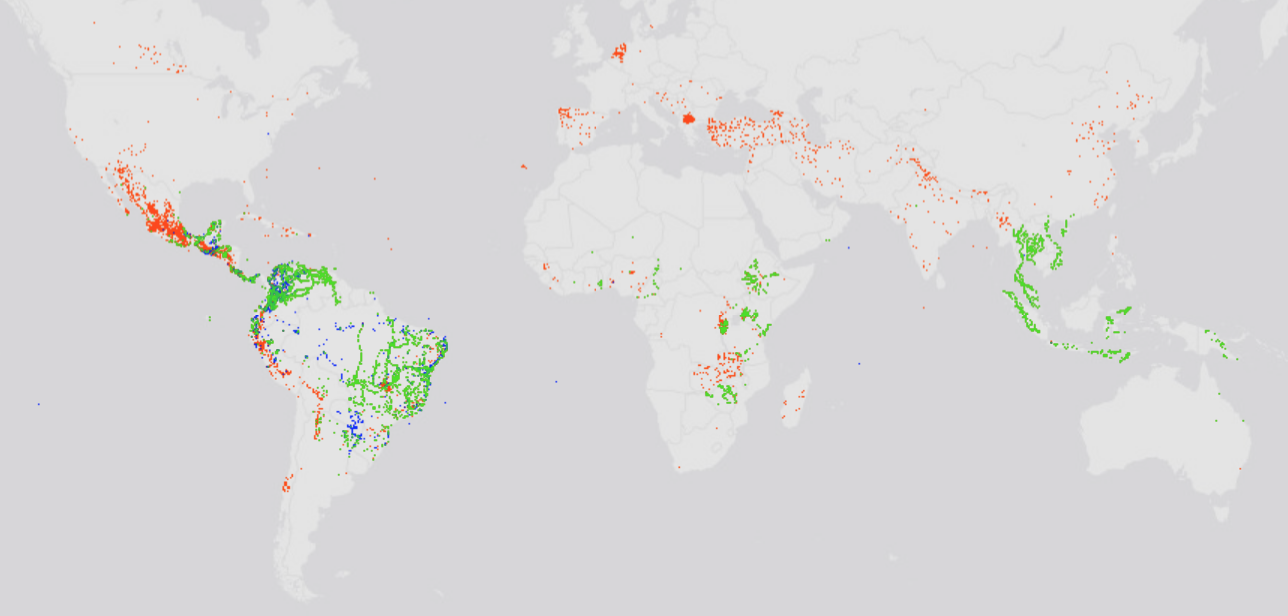
Incidentally, some of authors of the waterbirds paper have another paper out, “Language barriers in global bird conservation,” which is also well worth reading. About 15% of the more than 10,000 birds they looked at have geographic distributions within which more than 10 languages are spoken. And even when you control for area, threatened birds have significantly more languages spoken within their distributions. Which clearly is a challenge for conservation. I wonder if there’s something similar happening with CWR.