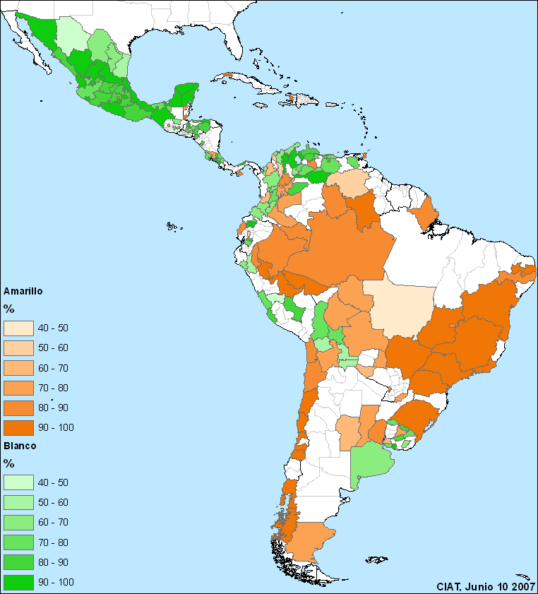
 Glenn Hyman at CIAT is doing a survey of the preference for different maize colours in Latin America. There’s a questionnaire you can take. The results so far are shown on the map to the left: dark brown is a strong preference for yellow maize, dark green for white. Glenn told us about it in a comment on a post of mine a couple of days back, but I figured he’d like some more publicity.
Not so cool cartograms
Worldmapper has a new series of cartograms out, and very depressing they are too. 1 They show the size of territories scaled in proportion to the absolute numbers of deaths from various causes. Look in particular at the nutritional deficiencies map. But for a real shock, check out the specific map for vitamin A deficiency. Remember, this is something that is totally preventable, thanks to agrobiodiversity. No wonder that scientists working in Africa have highlighted the importance of high beta-carotene sweet potato cultivars in the recent global survey of sweet potato research priorities carried out by the International Potato Centre (CIP). 2 Coincidentally, I also found today a report on an attempt to promote sweet potato (and other root crops) on the ground in Africa, focusing on women and homegardens. 3 The researchers say that one of the things that can be useful in encouraging adoption is providing information on nutritional benefits.
Rice, China and climate change
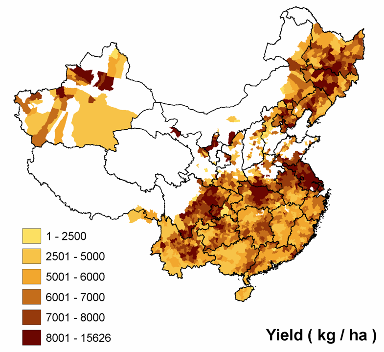
Remember Jeremy has an omnibus post about Chinese agrobiodiversity.
Conserving crop wild relatives
A paper just out in Biological Conservation discusses crop wild relatives (CWR) in the UK. 5 The authors include some of the same British boffins who wrote a global survey of CWR conservation. The paper describes how to develop a comprehensive national plan for the conservation of CWR, using the UK as an example. Unfortunately, it is behind a paywall, but I’ll summarize the main points.
First, of course, you need to know what you’re dealing with. A UK national inventory of CWR was developed as part of the EU-funded PGR Forum project. It contains 15 families, 413 genera, 1955 species (44 endemic) — that’s 65% of the native flora. So then you have to prioritize. For example, 13 of the UK’s CWR species are considered threatened according to IUCN criteria and one is apparently extinct in the wild ( the grass Bromus interruptus). The authors ran an iterative algorithm on the distribution data for about 250 CWR species 6 to identify the smallest number of areas which would contain the largest number of species. Seventeen 10×10 km grid squares were selected within which could be found two thirds of the priority CWR species.
To what extent are these “hotspots” already protected? Interestingly, none of them “did not overlap with existing UK protected areas.” What’s now needed is to confirm the presence of the target species in the protected areas and come up with management plans specifically aimed at the CWR.
Mapping agrobiodiversity for change
A 13-minute reportage on the Mapping for Change Conference which took place in Nairobi, Kenya on September 7-10, 2005. The reportage features interviews with participatory GIS and 3D mapping practitioners from around the globe and summarizes the process and outcomes of the event.Â