I’ve linked on a couple of occasions to Robert Hijmans’ rice maps, as published in IRRI’s Rice Today magazine. Robert has now put these all together on a single webpage. Good idea.
New map of anthropogenic biomes
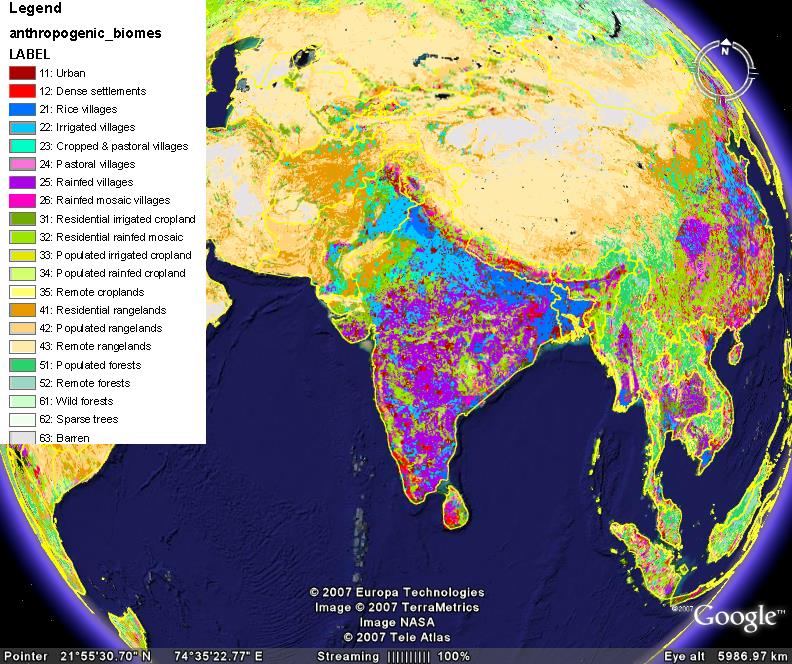
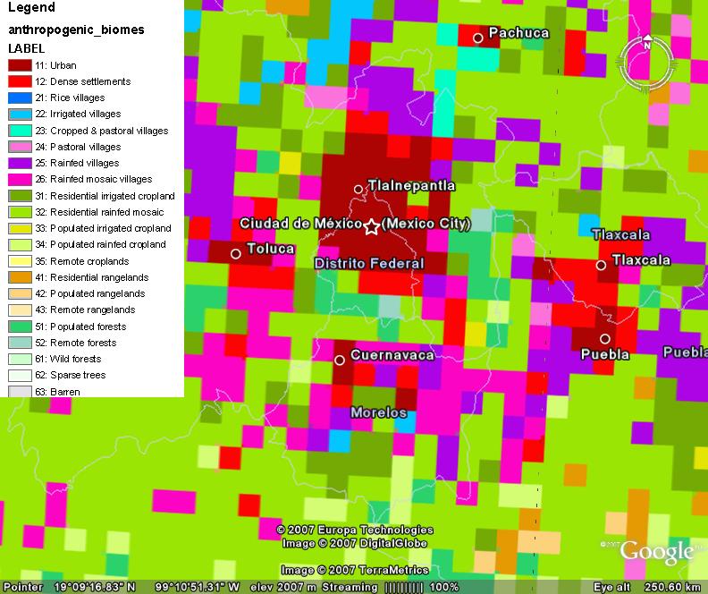
Professor Erle Ellis of the University of Maryland, Baltimore County and Professor Navin Ramankutty of McGill University have come up with a new classification of the earth’s biomes. They call the new classes “anthromes,” or anthropogenic biomes:
Anthropogenic biomes are not simple vegetation categories, and are best characterized as heterogeneous landscape mosaics combining a variety of different land uses and land covers.
I would imagine this will be quite useful in mapping the distribution of individual crops and even crop varieties. The anthromes may be viewed in Google Earth. Here’s what South Asia looks like.
And this is the area around Mexico City.
Maize preferences survey
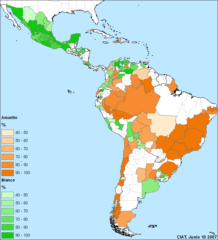 Glenn Hyman at CIAT is doing a survey of the preference for different maize colours in Latin America. There’s a questionnaire you can take. The results so far are shown on the map to the left: dark brown is a strong preference for yellow maize, dark green for white. Glenn told us about it in a comment on a post of mine a couple of days back, but I figured he’d like some more publicity.
Not so cool cartograms
Worldmapper has a new series of cartograms out, and very depressing they are too. 1 They show the size of territories scaled in proportion to the absolute numbers of deaths from various causes. Look in particular at the nutritional deficiencies map. But for a real shock, check out the specific map for vitamin A deficiency. Remember, this is something that is totally preventable, thanks to agrobiodiversity. No wonder that scientists working in Africa have highlighted the importance of high beta-carotene sweet potato cultivars in the recent global survey of sweet potato research priorities carried out by the International Potato Centre (CIP). 2 Coincidentally, I also found today a report on an attempt to promote sweet potato (and other root crops) on the ground in Africa, focusing on women and homegardens. 3 The researchers say that one of the things that can be useful in encouraging adoption is providing information on nutritional benefits.
Rice, China and climate change
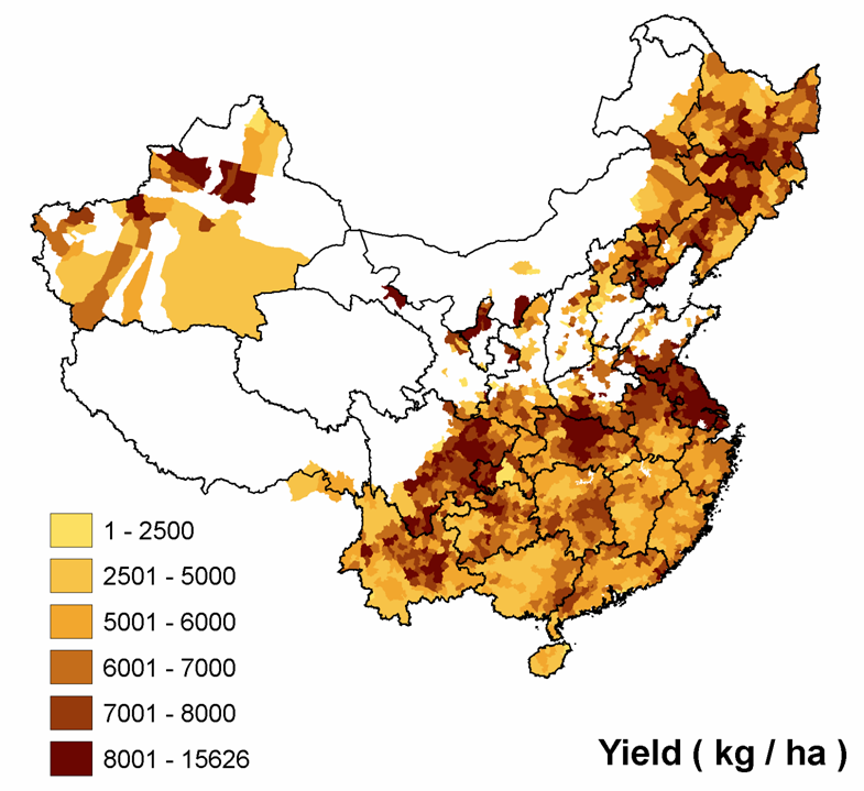
Remember Jeremy has an omnibus post about Chinese agrobiodiversity.