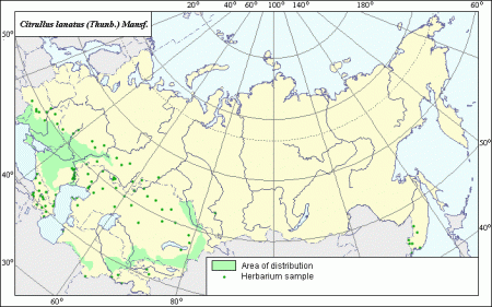
We blogged about AgroAtlas some years back, but a big article in USDA’s newsletter gives us a welcome opportunity of pointing out again how cool it is. The much-awaited GIS layers are in a funny format, though, which I’d be interested to know how to convert to something that can be viewed in Google Earth.

Luigi- thanks for the kind words. The GIS layers are in Map Info format (mif/mid). I’ve been able to convert them to ARC GIS and IDRISI formats but have found that the reference system (Alber’s Equal Area Conic of Russia) is not listed as an option. Let me know if oyu would like these files. We also need to get them on the AgroAtlas website so folks can download them.
Stephanie Greene
Co-project Manager, AgroAtlas