It didn’t take long for my prediction to come true that the Mexican maize dataset I blogged about a couple of weeks back would get some more attention. The lead author of that previous paper, Hugo Perales, has teamed up with Quetzalcóatl Orozco-Ramírez and our old friend Robert Hijmans to do a deep dive into the database of 18,176 georeferenced observations of about 60 maize races. Some key findings:
- Both at national and state level, there are a few very common races, and many races with very few observations.
- 10% of the races account for 54% of the records.
- Over half of the races account for 10% of the records.
- The maximum distance between two records of the same race was just over 1000 km on average, the maximum about 2600 km, and lower than 200 km for 7 races.
- There was a positive association between the number of observations and the number of races in both 50 km and 100 km square cell.
I particularly liked the new map of “maize communities,” that is, regions where more or less similar assemblages of races are found.
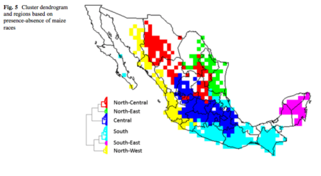
Although the previous paper had a similar map of “biogeographic regions,” this is more detailed and robust. Intriguingly, the hotspots of highest diversity tend to occur where distinct maize communities meet.
I’ll see if I can get Robert so say a few words about this work here.
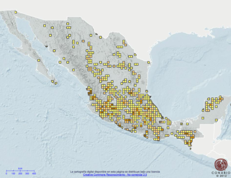
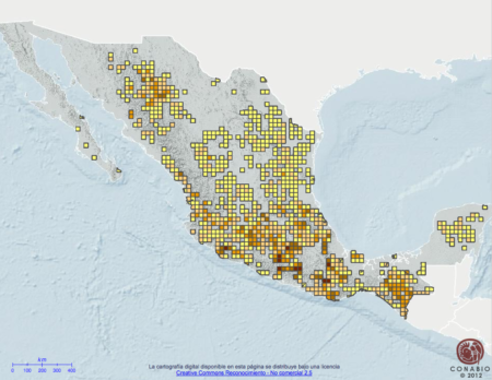
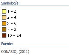 The legend used in both maps is at the left here. Looking at the maps, lots of questions came to mind. Why are we getting higher numbers of races in the 1990’s? Is it that the collecting was more thorough then? Or are races moving around more now? There is lots of information on the