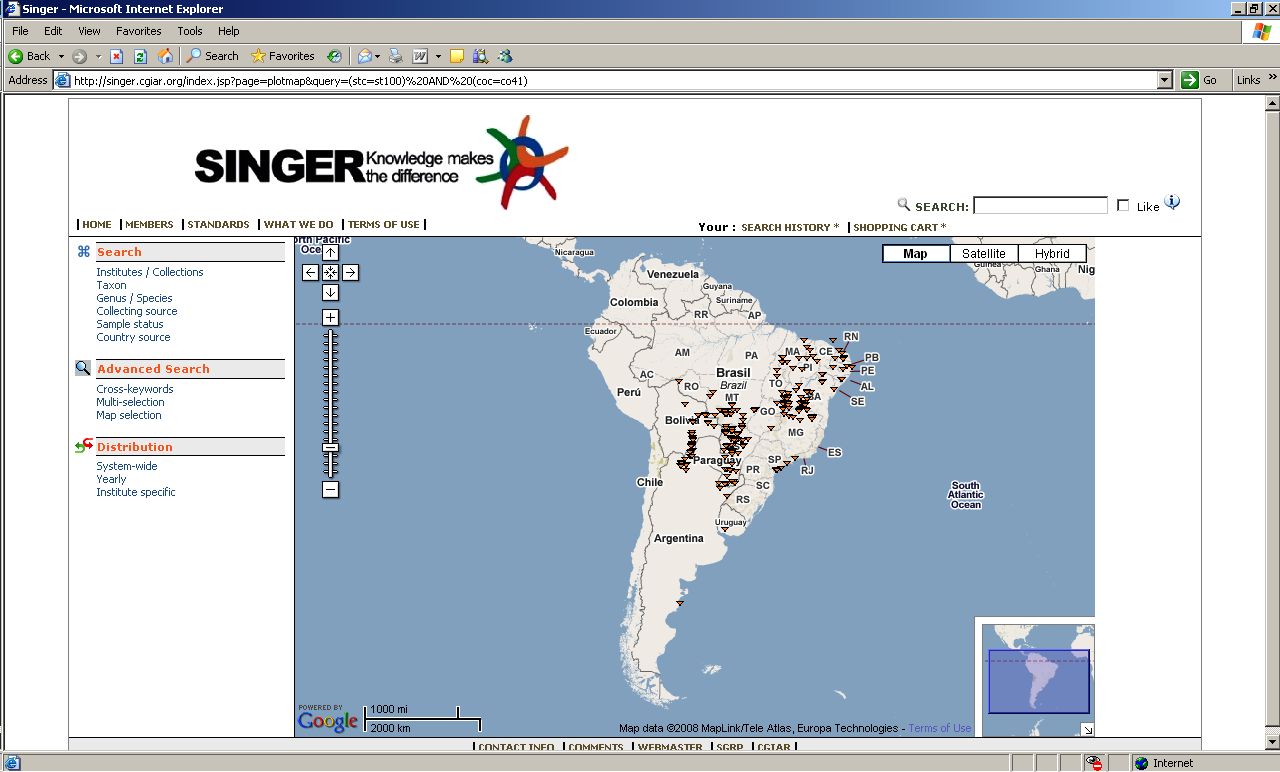
Putting the new SINGER interface through its paces, I find that it can do something interesting that GRIN cannot. Or at least I can’t see a way of doing it, let me know if you can. Below is a screenshot from SINGER showing a Google Map of the distribution of all wild Arachis accessions that the database knows about which have geographic coordinates. Very useful, I think. GRIN does map localities, but I could not manage to get it to do so for multiple species like this.
