I promised you more on the Doolittle Prairie, and here it is. But first, thanks to Candy Gardner for arranging the visit, and to Mark Widrlechner for leading the tour.
Doolittle Prairie State Preserve, near Story City in Iowa, is a small remnant of native tallgrass prairie. The 26-acre state-owned protected area supports about 220 plant species. 1 About half of the area, the northern part, has never been ploughed or grazed, though hay was cut until the 60s. The southern part has been grazed, and the southwest corner ploughed until 1965 and then replanted with seed from the northern section. All around are fields of maize and soybean. Management is by cutting and burning, to keep down exotics, and encroaching shrubs and trees.
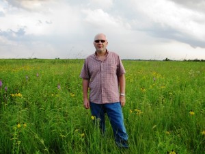
It’s a very evocative place. You can just imagine the deer and the buffalo roaming on it back in the day. There are still deer. Buffalo, not so much. 2 It’s also pretty interesting from an agrobiodiversity perspective, because it’s got quite a number of crop wild relatives for such a small place.
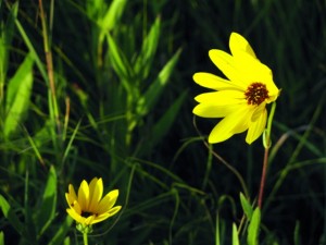
A couple of species of wild sunflowers, for example. This one is Helianthus rigidus:
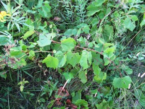
There are also native species of Allium, Elymus, Lactuca, Fragaria, Prunus, Ribes, Rubus, and Vitis:
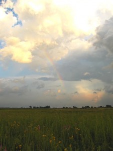
All in a beautifully colorful setting, at least at this time of the year.
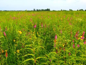
So, a bit of a CWR hotspot, in its own small way, and protected to boot. You may remember the recent global review of the role of protected areas in CWR conservation. I don’t think that CWR have been mapped in the US in the same way as has been done in Russia, however. 3 Once you have geo-referenced CWR locations, you could easily mash the result up with the online map of protected areas to see which national parks and reserves contribute most to CWR conservation. Anybody out there working on this? I bet little Doolittle Prairie would be on that list.
- You can download a prairie species dataset from Dr Brian J Wisley’s webpage. Look among his publications for: Wilsey, B.J. Martin, L.M. and H.W. Polley. 2005a. Predicting plant extinction based on species-area curves in prairie fragments with high beta richness. Conservation Biology. 19:1835-1841.
- Though I did see buffalo nearby.
- They have, however, been inventoried. See Appendix A of the United States country report for the first State of the World Report. Thanks to Karen for the tip.