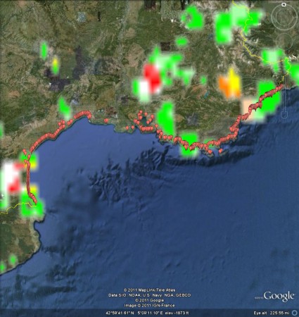
My apologies to Robert Hijmans, the developer of DIVA-GIS. I had forgotten how awsomely awesome his software. It was really only the work of half an hour to export a shapefile of the distribution of wild and weedy accessions from Genesys, open it in DIVA-GIS, produce a gridfile of taxon richness, export it as a KMZ, and open it in Google Earth, together with The Guardian’s European bathing places dataset, which I had prepared earlier.
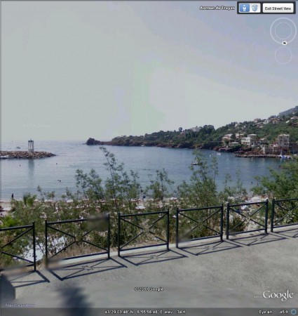
A beach called La Figueirette at Theoule-sur-Mer is right in the middle of that (relative) hotspot of species richness not far from the Italian border shown in light orange on the map above. And the beach doesn’t look too bad either, at least on StreetView.
Now, to check out the lakes…


One Reply to “Picking a good agrobiodiversity beach”