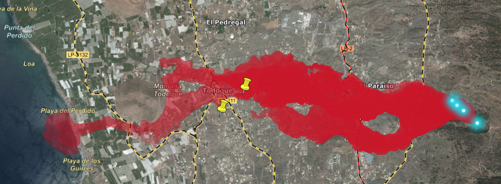
You probably heard about the eruption and lava flow on La Palma in the Canary Islands. Or even seen it on Twitter. What you may not know is that there’s an interactive map of it online. And what came as a further — and very welcome — surprise to me is that it allows you to import your own data. That’s quite unusual. Genesys shows 442 georeferenced accessions from the island, and importing their locations suggests that two of them (a pepper and a watermelon) were originally collected from farms that are now in the vicinity of the lava flow.
Does that matter? Probably not, but it was nice to be able to do this sort of mashup quite easily for once. All too often combining spatial data is an almighty chore if you’re not a GIS specialist.